
Supporting ICT
Subprojects that fall under the Theme 'Supporting ICT'.
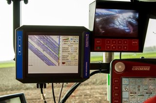
Supporting ICT and autonomous navigation, strategic field plot planning (Subproject 5)
This project examines how farmers can optimize their strategic field plot planning. Geographic field plot information (location, boundaries, field characteristics) will be combined with additional spatial information (water extraction, soil type, nature reserves etc.) and European regulations as outlined in the new European agricultural policy (CAP). The accumulated knowledge will be integrated into a methodology with which farmers can be advised. It will be combined with the route planning module GAOS.
Project partners: ZLTO, Agrifrim Plant B.V., Wageningen University & Research, HWodKa (telers)
Coordinating research institute: Wageningen University & Research: Henk Janssen (trekker) en Thomas Been.

